GIS and Mapping
To complement our on-the-ground environmental services, ERP provides state-of-the-art mapping and spatial analysis services that add value to your environmental data. We advise clients on the geographic information systems technology for environmental monitoring and management across the US.
With expertise in GIS and data management, ERP specialists develop datasets and analyses that allow you to observe and understand key environmental features of your project. ERP personnel gather and analyze geospatial and satellite observation data to extract information to highlight patterns and relationships useful for your project, such as terrain, land cover, the built environment, water resources, and sensitive habitats. Working with your team, ERP can employ a wide range of geospatial data to provide innovative solutions to your environmental challenges.
Constraints Analysis
Delineation Assessments
Mapping Technology
Data Mining
Workflow Automation
GIS Data Analysis and Management
- Constraints Analysis - Support decision-makers in analyzing a set of alternative spatial solutions, such as the most likely ecological habitat for restoration, against multiple criteria, such as vegetation cover or roads
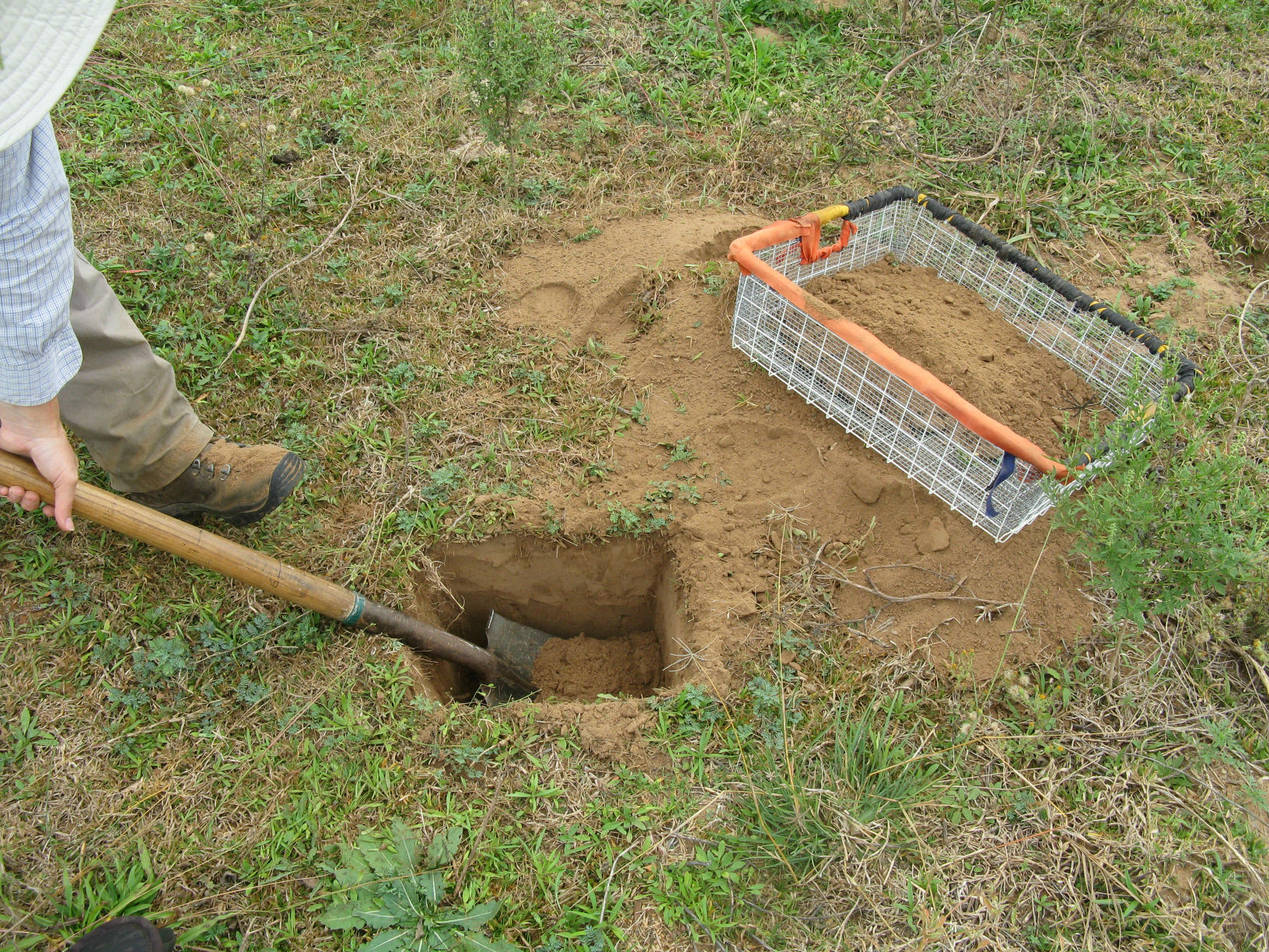
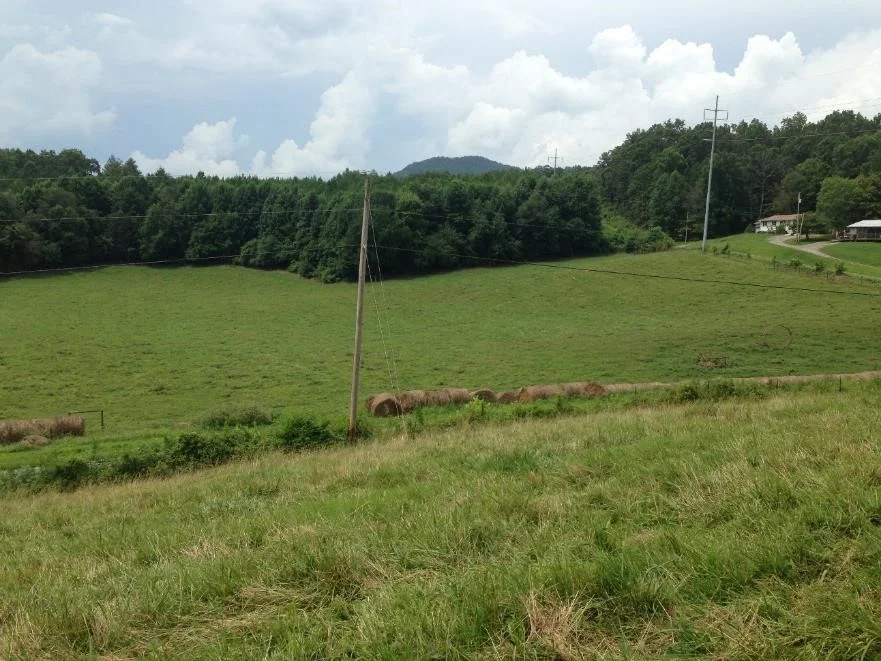
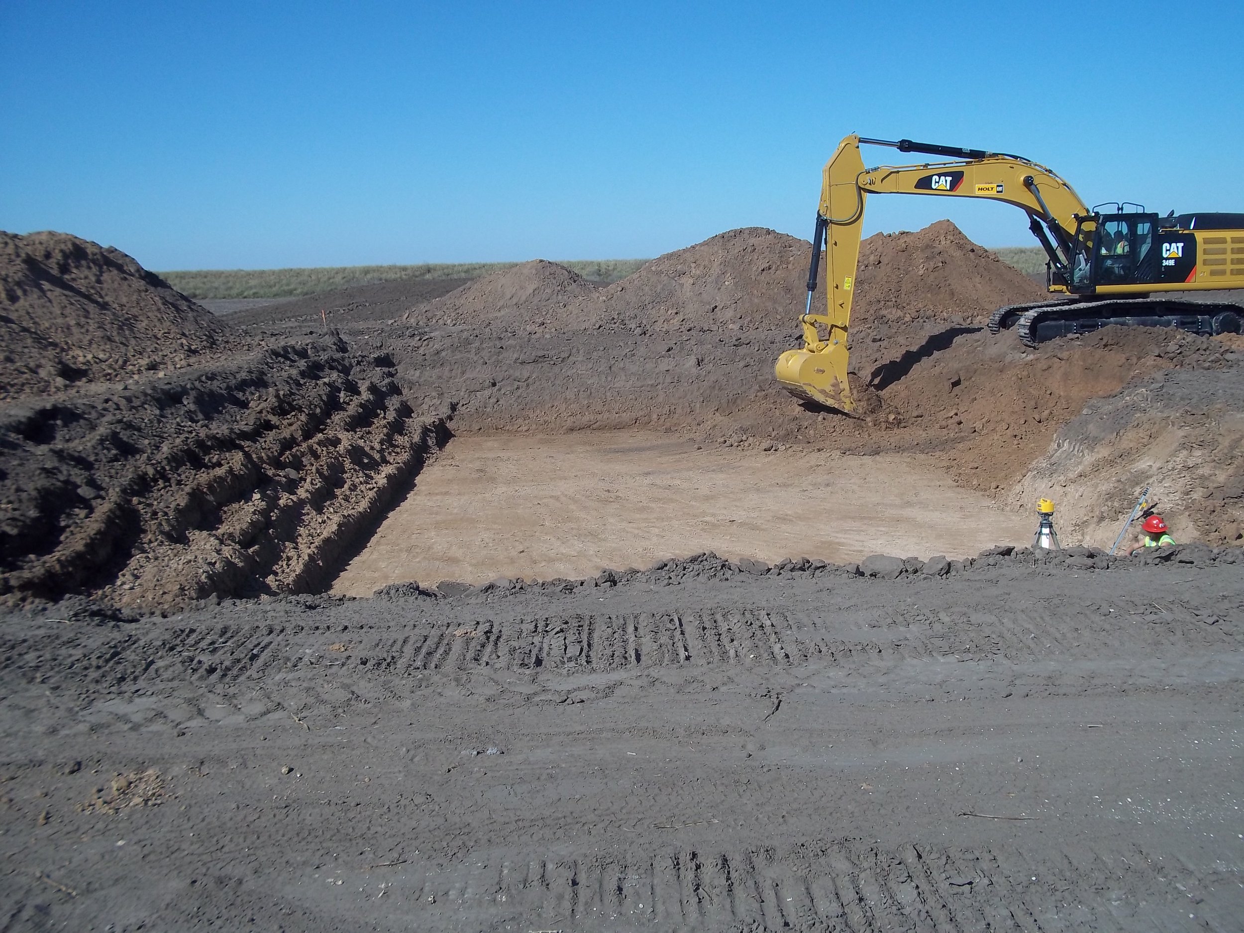
- Wetlands Delineation Assessment – Mapping and assessment of riparian areas including, river reaches, floodplains, and adjacent wetlands
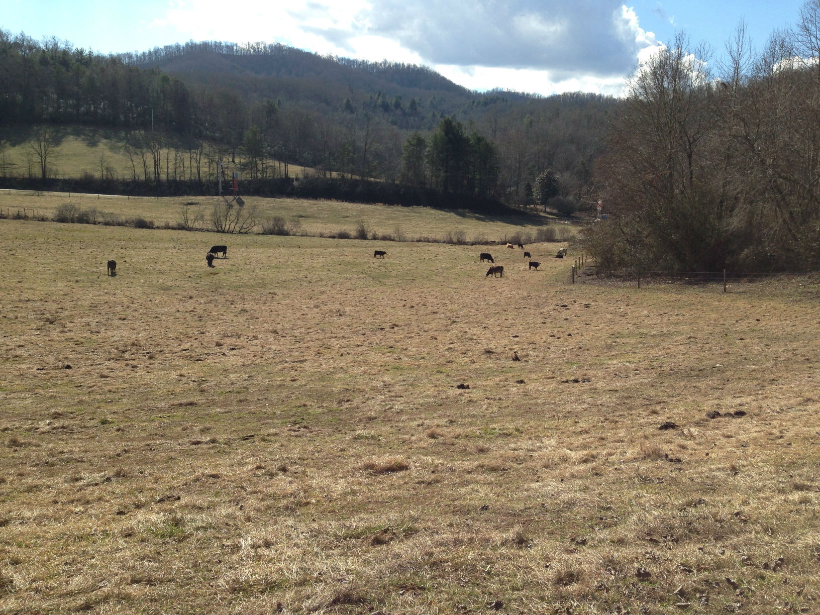
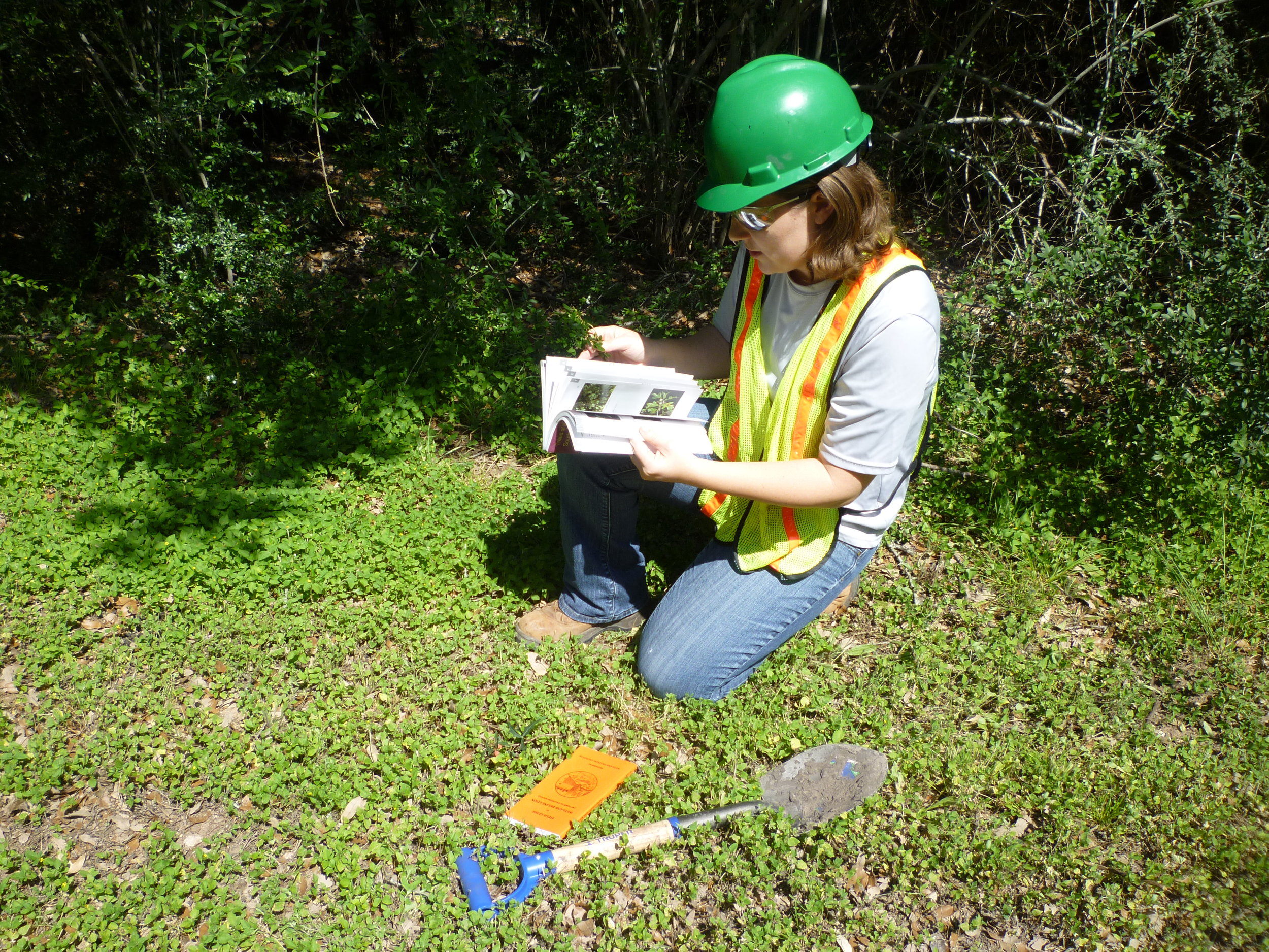
- Wildlife and Biodiversity Assessment – Wildlife habitat mapping, habitat fragmentation, and data analysis
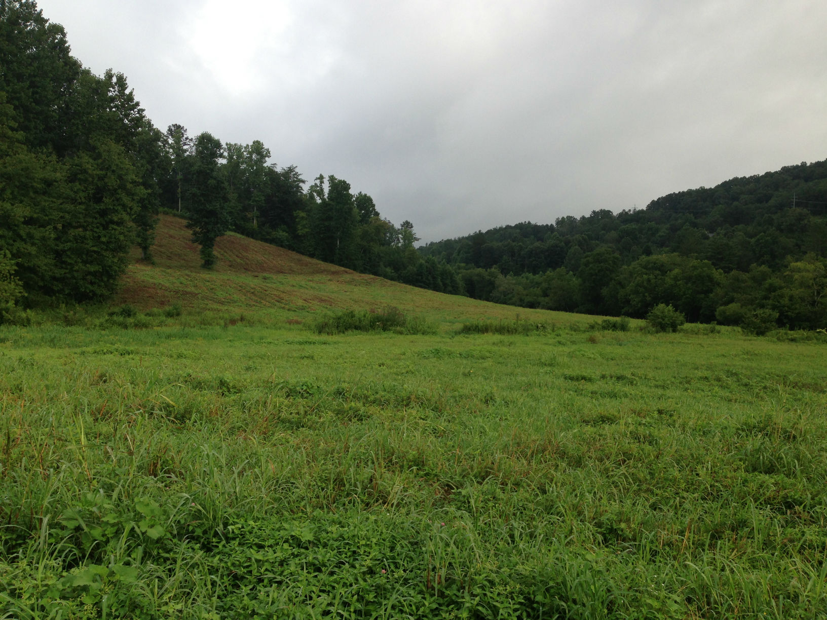
- Watershed Analysis - Terrain analysis of variables such as slope, aspect, and watershed or catchment area.
- Topographical Modeling - Recognize spatial relationships between geometric data including adjacency, containment, and proximity
- Cartographic Modeling - Custom cartography and modeling for reports, presentations, and analysis
GIS and Mapping Technology
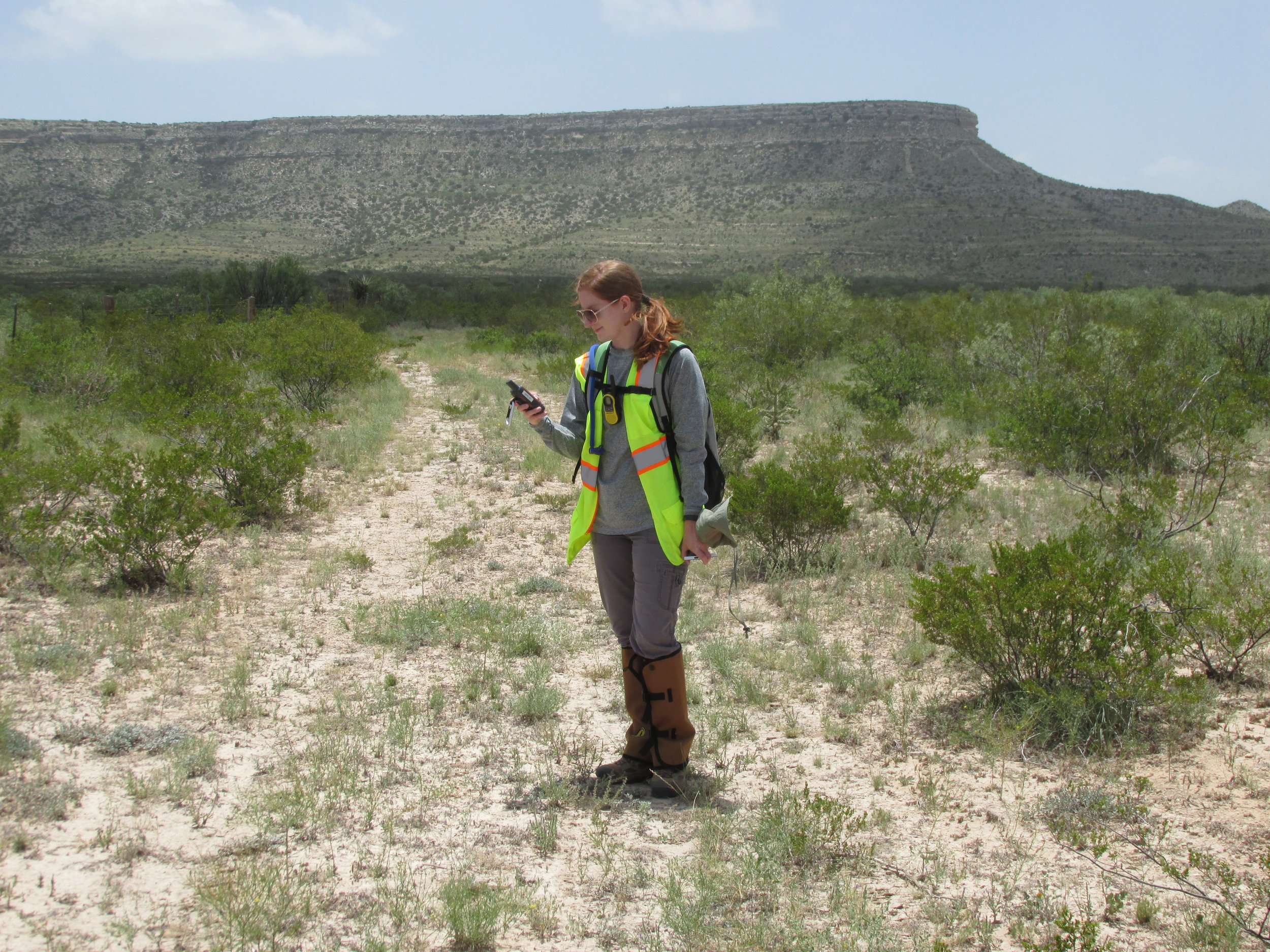
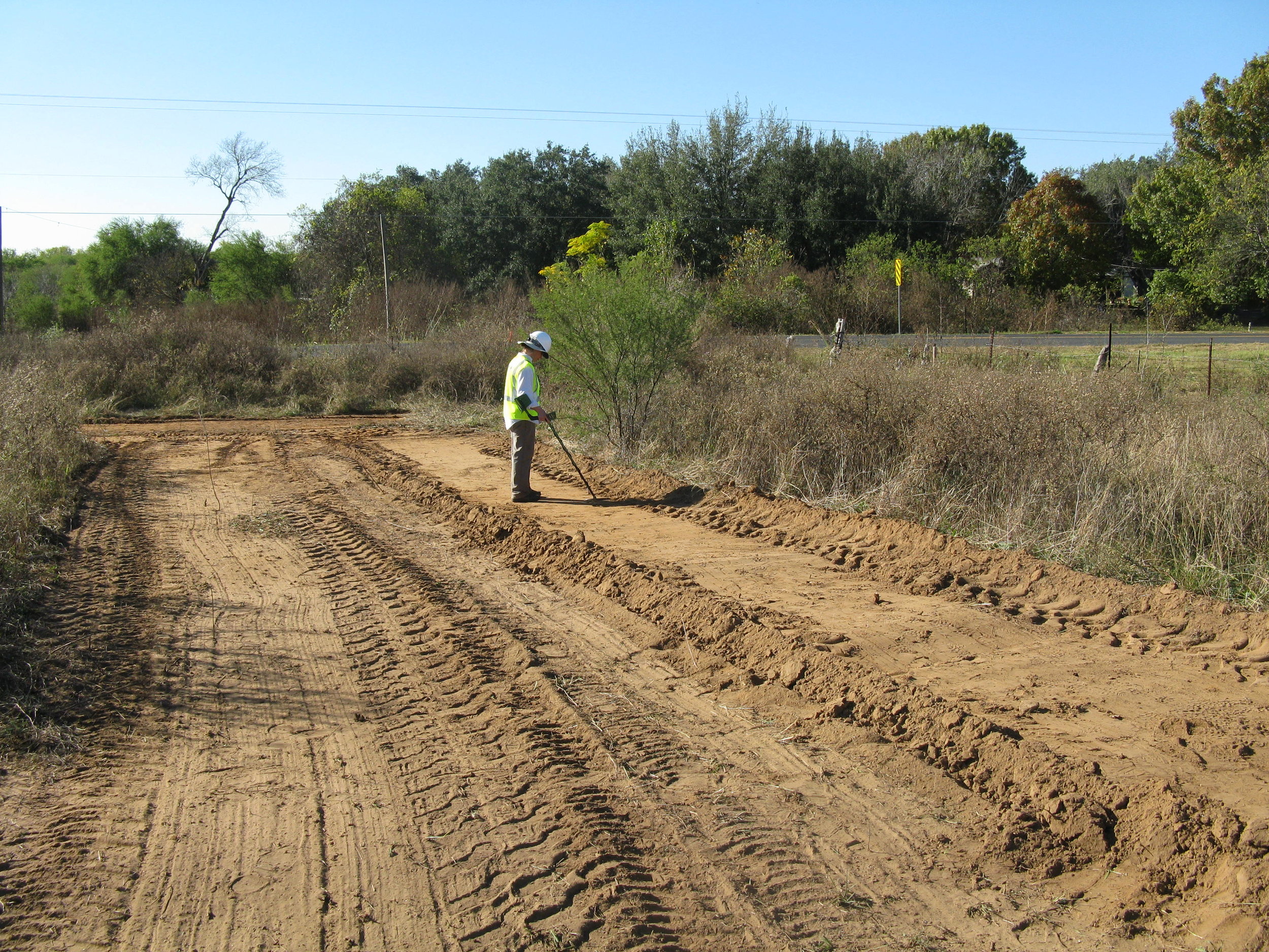
- Mobile data collection – Build custom maps and field data collection forms for smartphones and tablets to improve the efficiency and the accuracy of field work. We utilize seamless GPS field data collection equipment available with or without cellular connectivity, allowing our scientists and clients access to technology off the grid.
- Workflow Automation - Custom Python script tools for ArcGIS for easy workflow automation
- Remote Sensing - Provide clients with land cover classification using satellite and aerial multispectral data and LiDAR data.
- Web-mapping – Web maps are intuitive to use and streamline team collaboration. ERP uses open source and commercial components and customizes the applications to meet client needs.
- Cartography and interactive maps – Maps contribute to a deeper understanding of our environment, improved communication, and better decision making.
- Spatial ETL - Provide the data processing functionality of traditional Extract, Transform, Load (ETL) software, with a primary focus on the ability to manage spatial data.
- GIS Data Mining - ERP continues to build a vast dataset combining various open sources (USGS, USDA, USFW, NPMS, FEMA, Census, NHD/NWI, and other agencies) as well as our own extensive field verification and data collection campaigns.
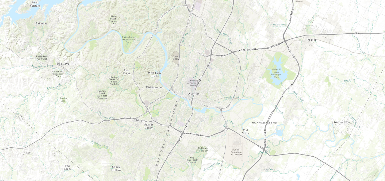
Sample Maps
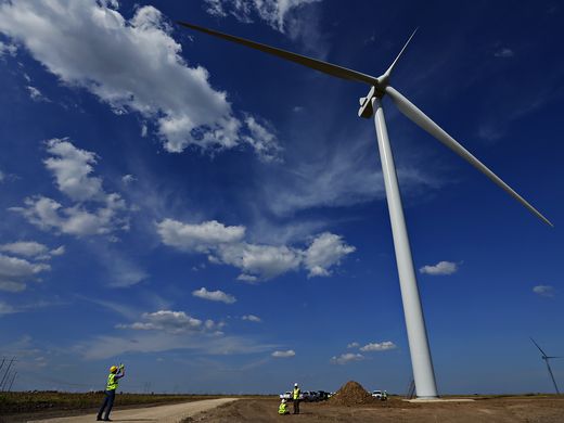
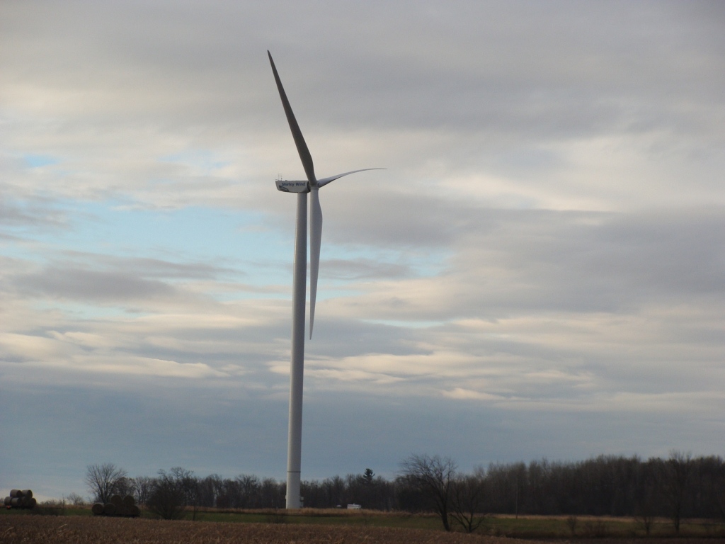
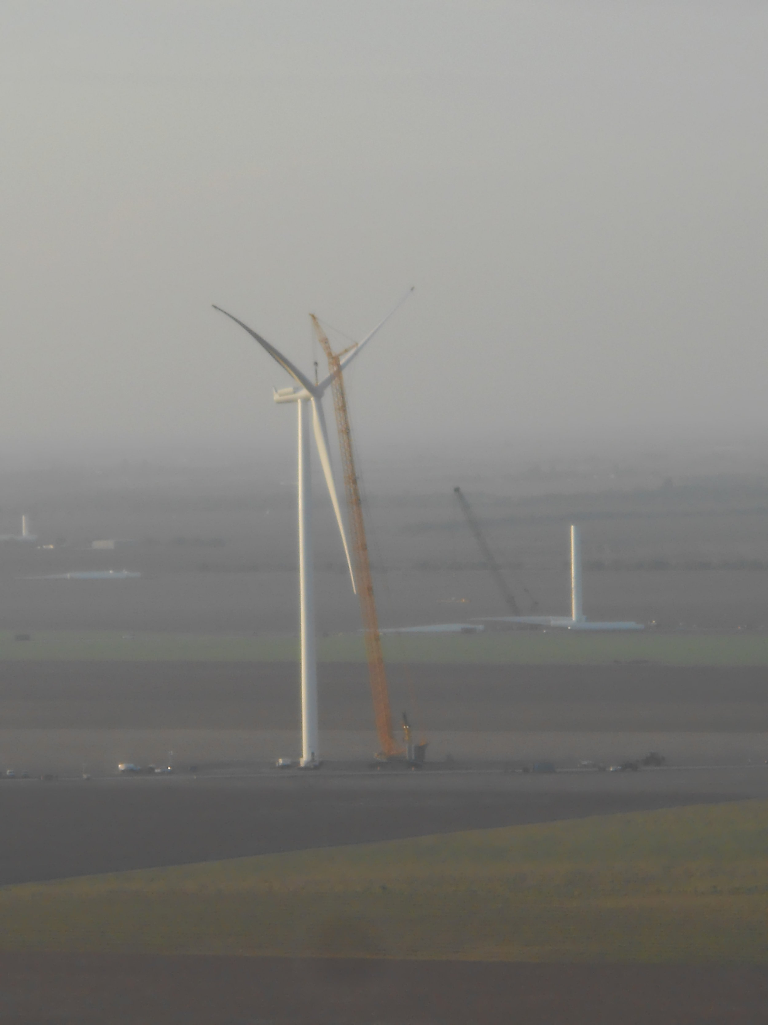
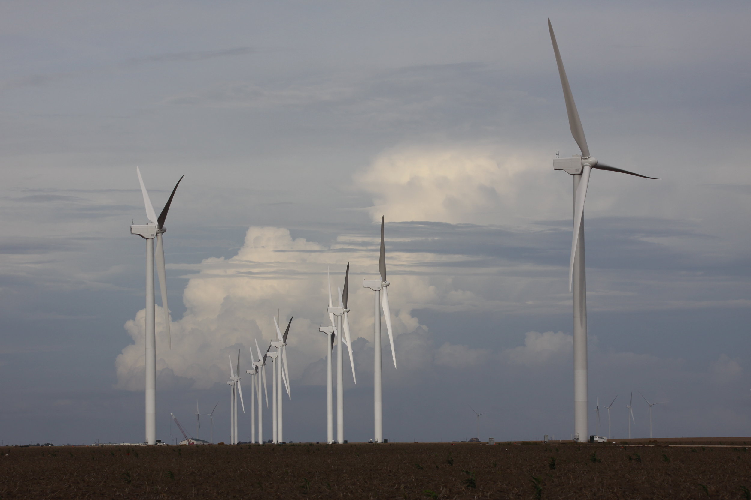
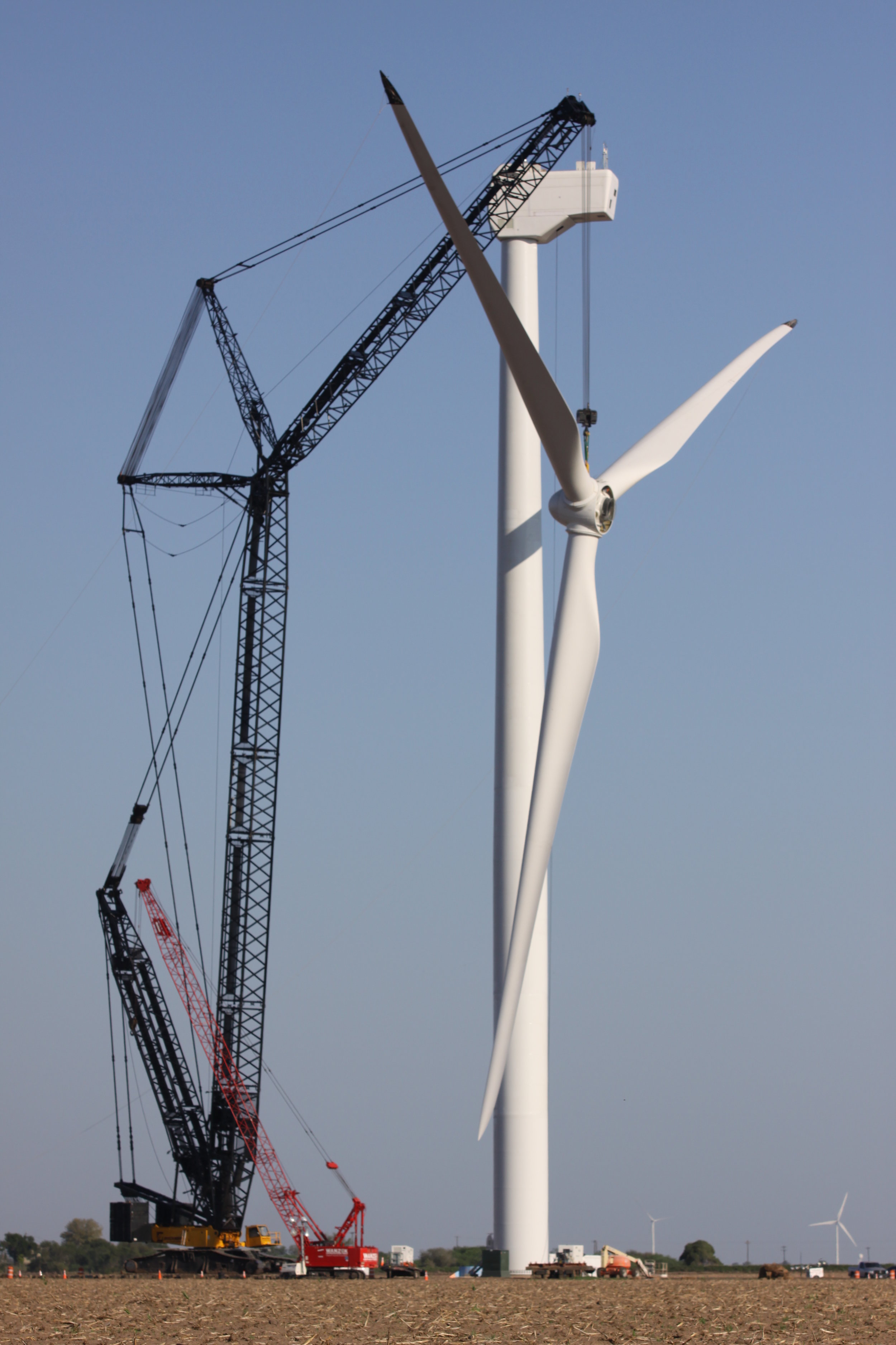
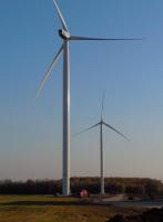
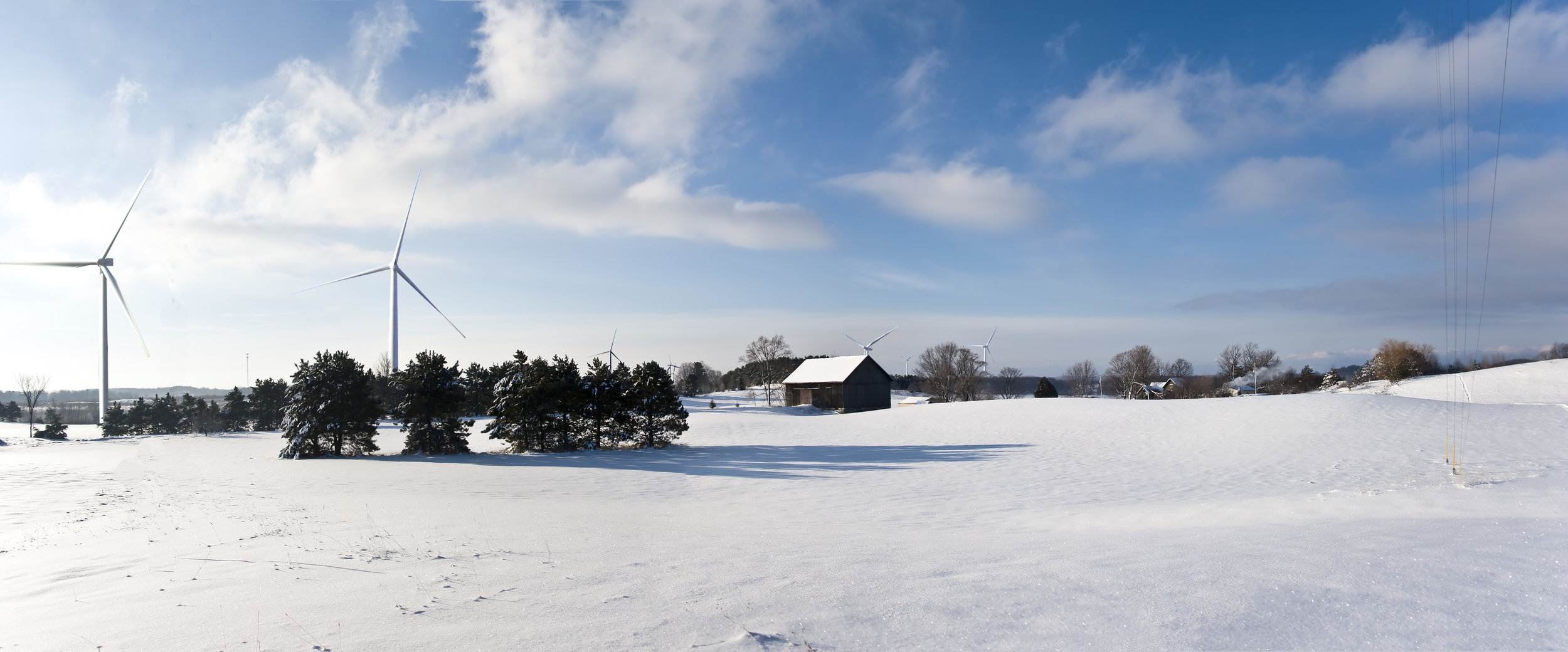
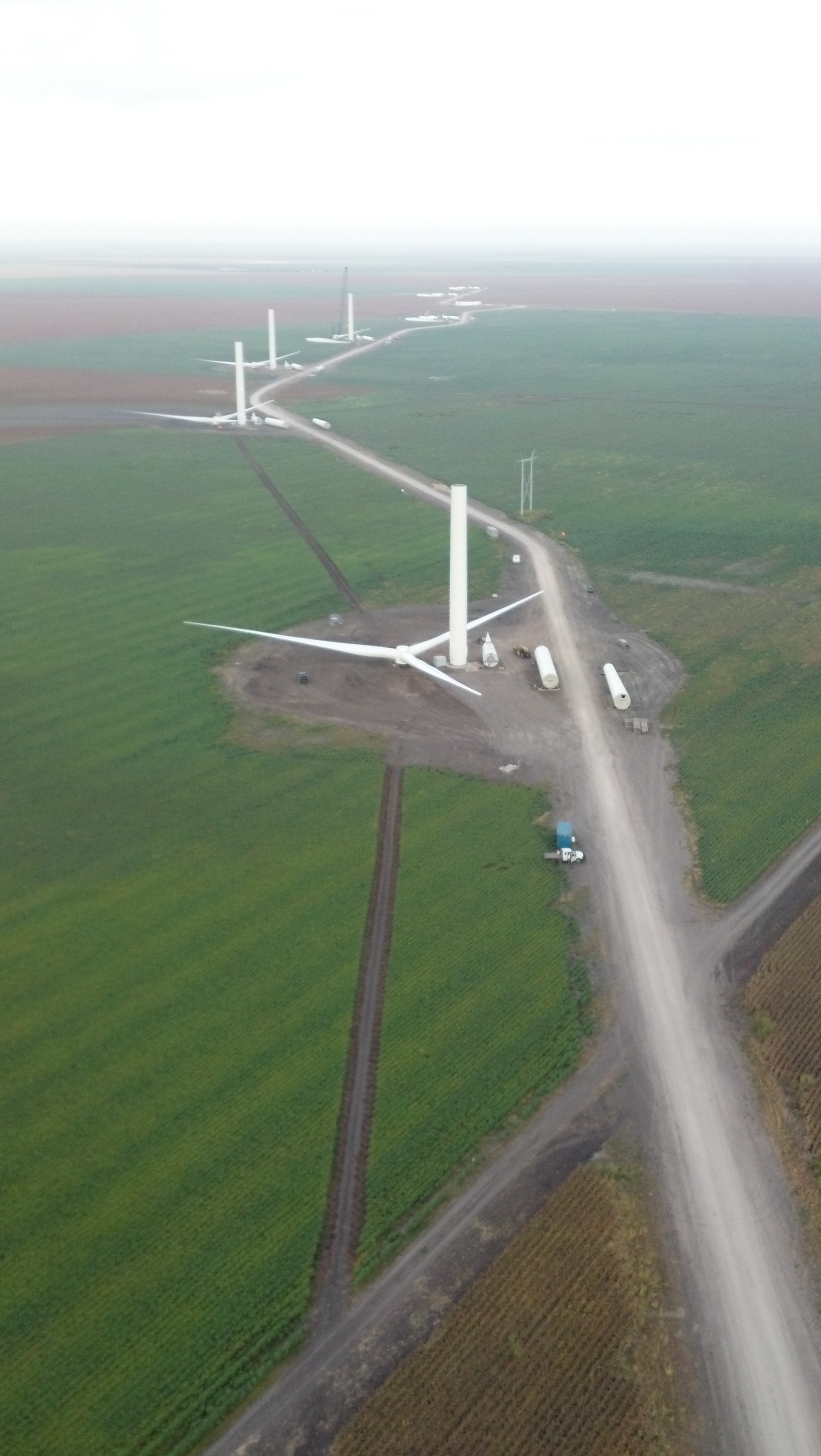
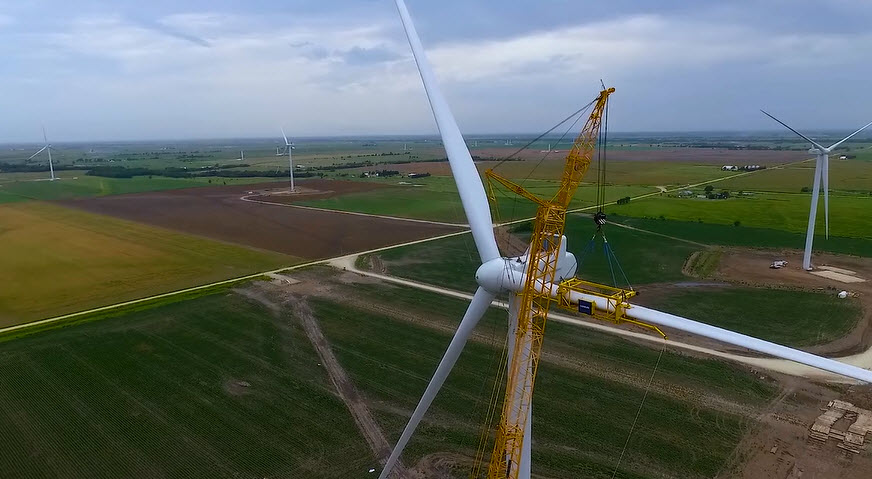
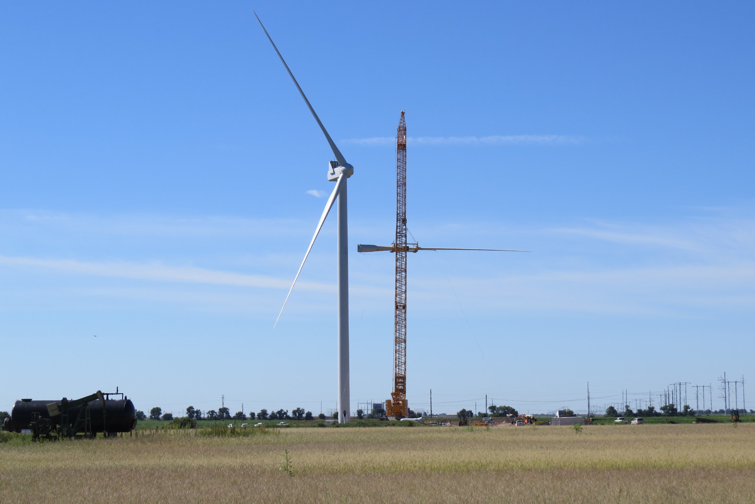
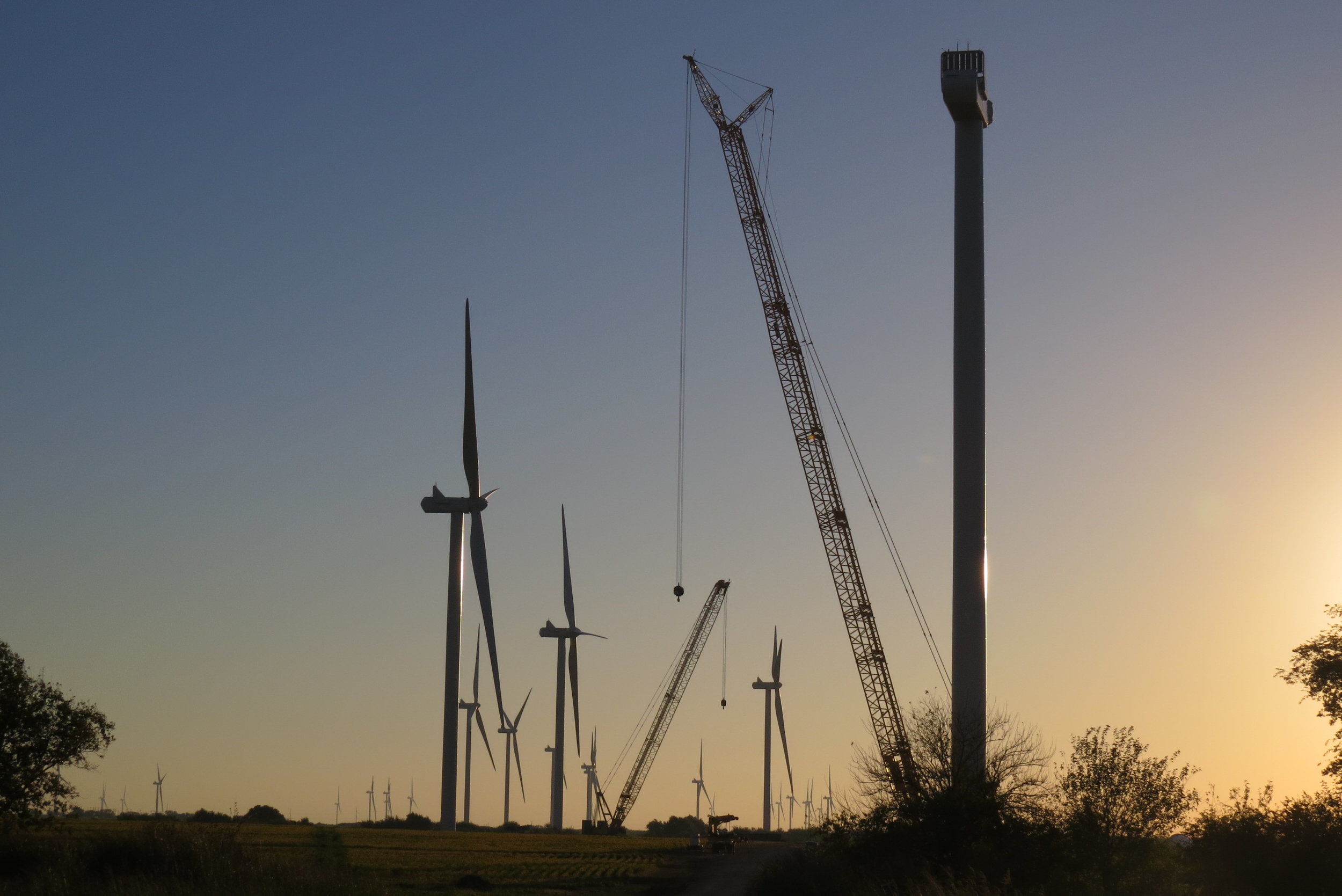
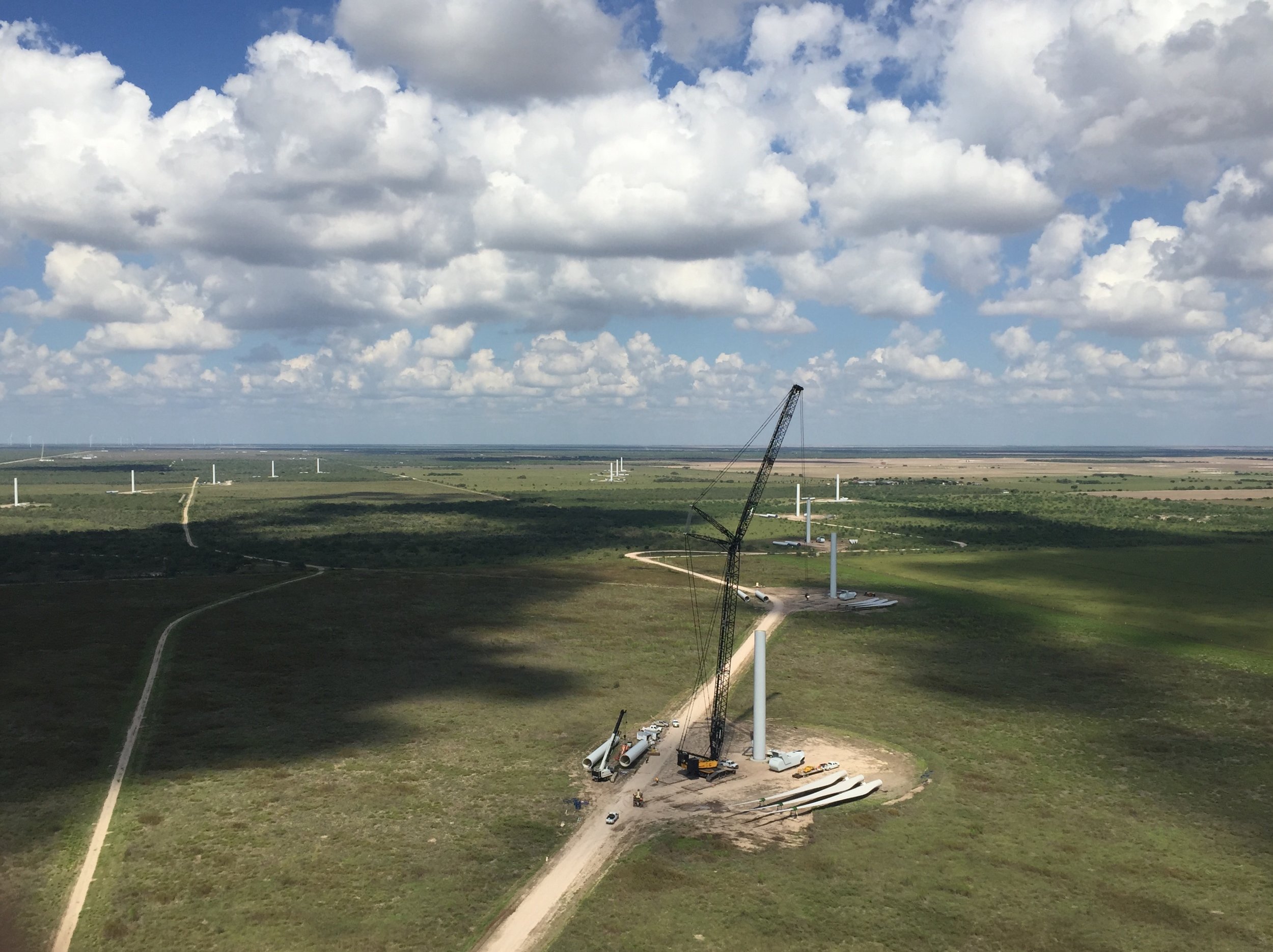
Constraints Mapping and Guidance - Wind
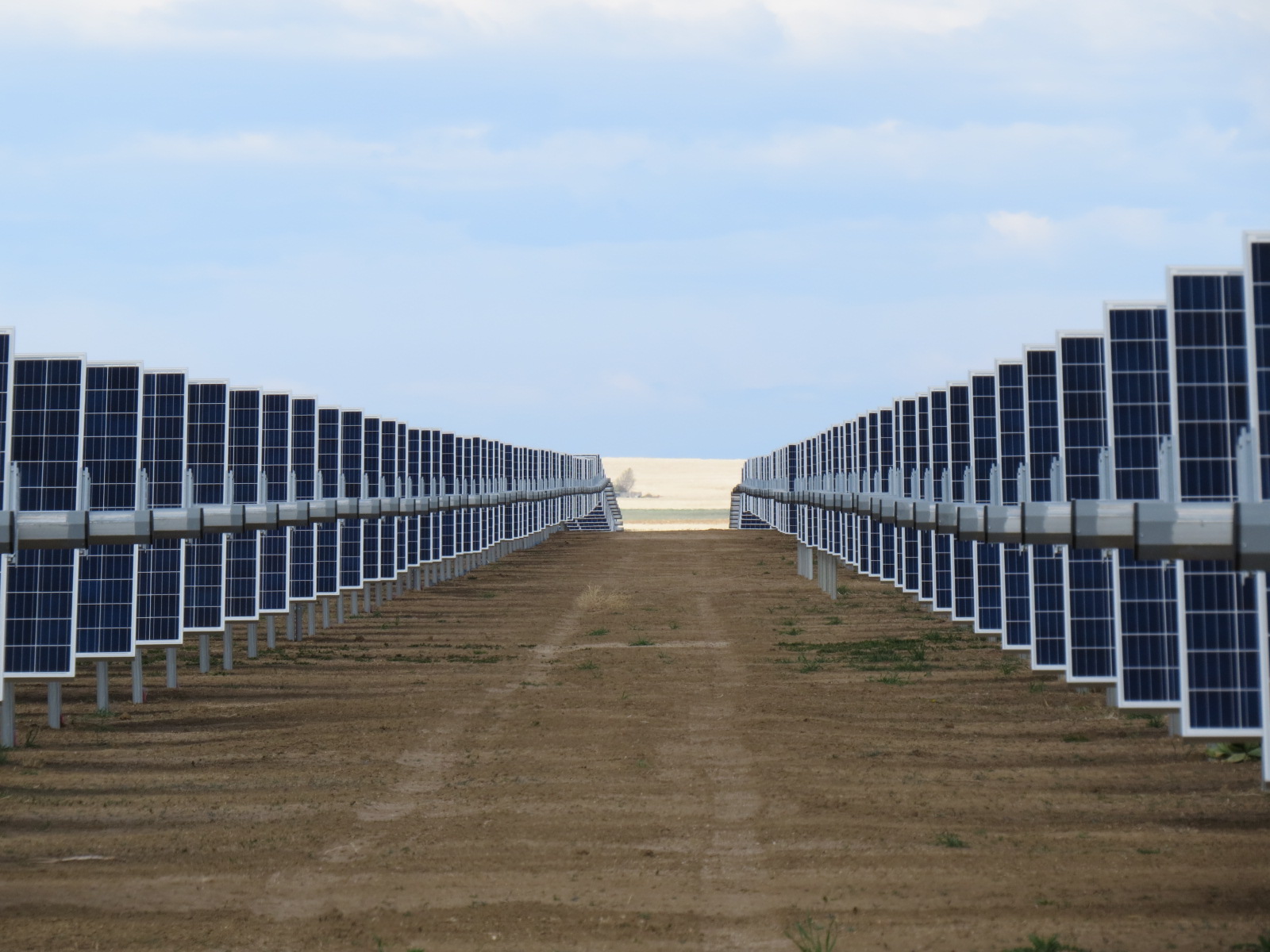
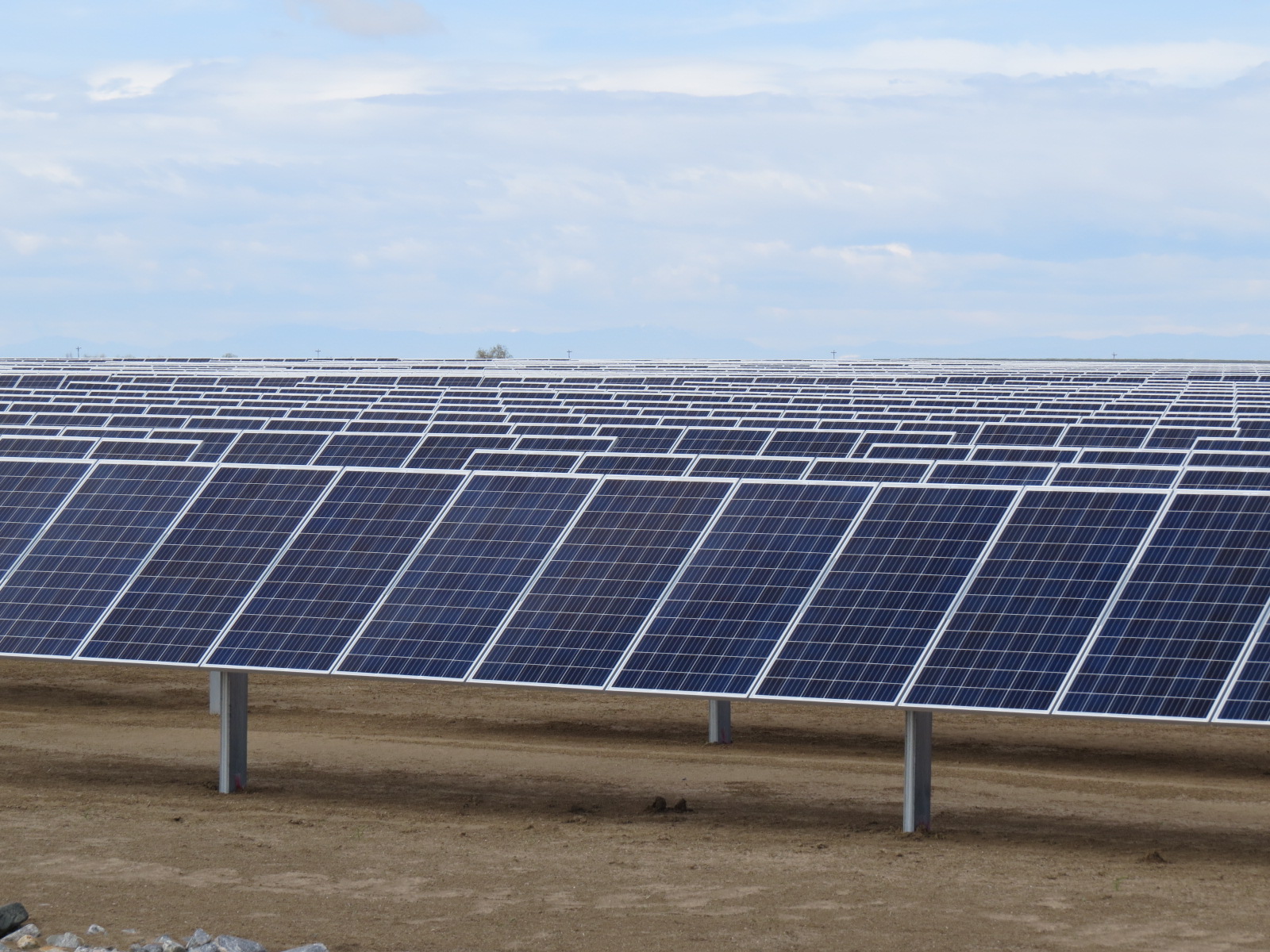
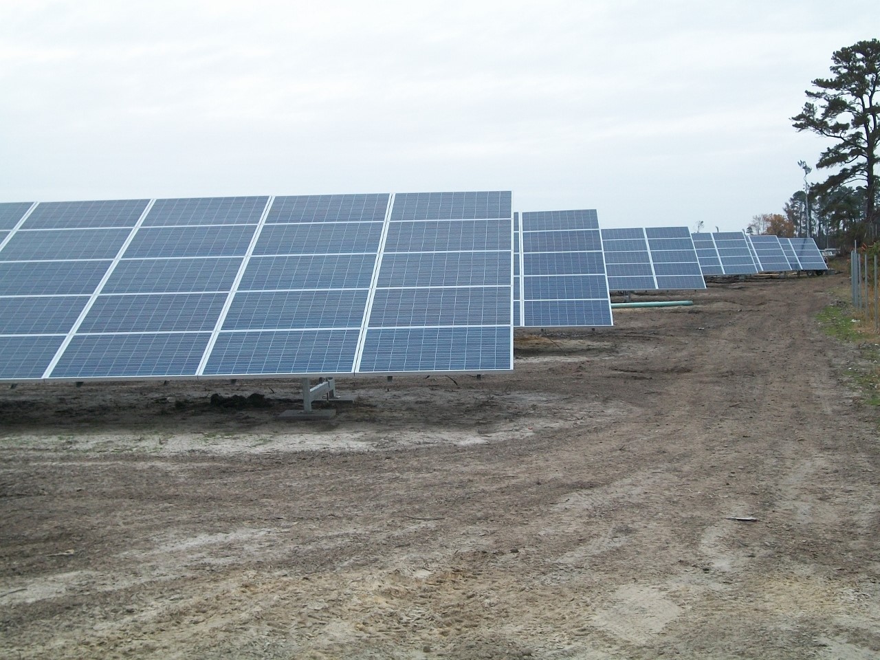
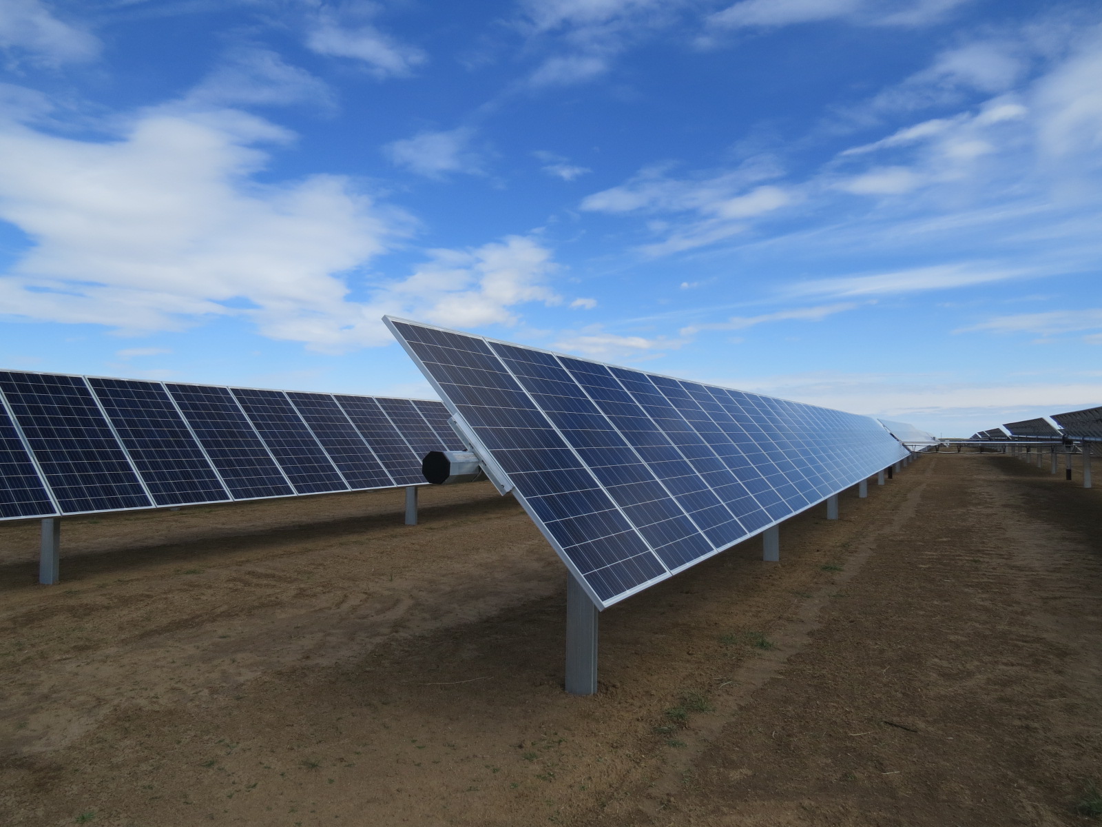
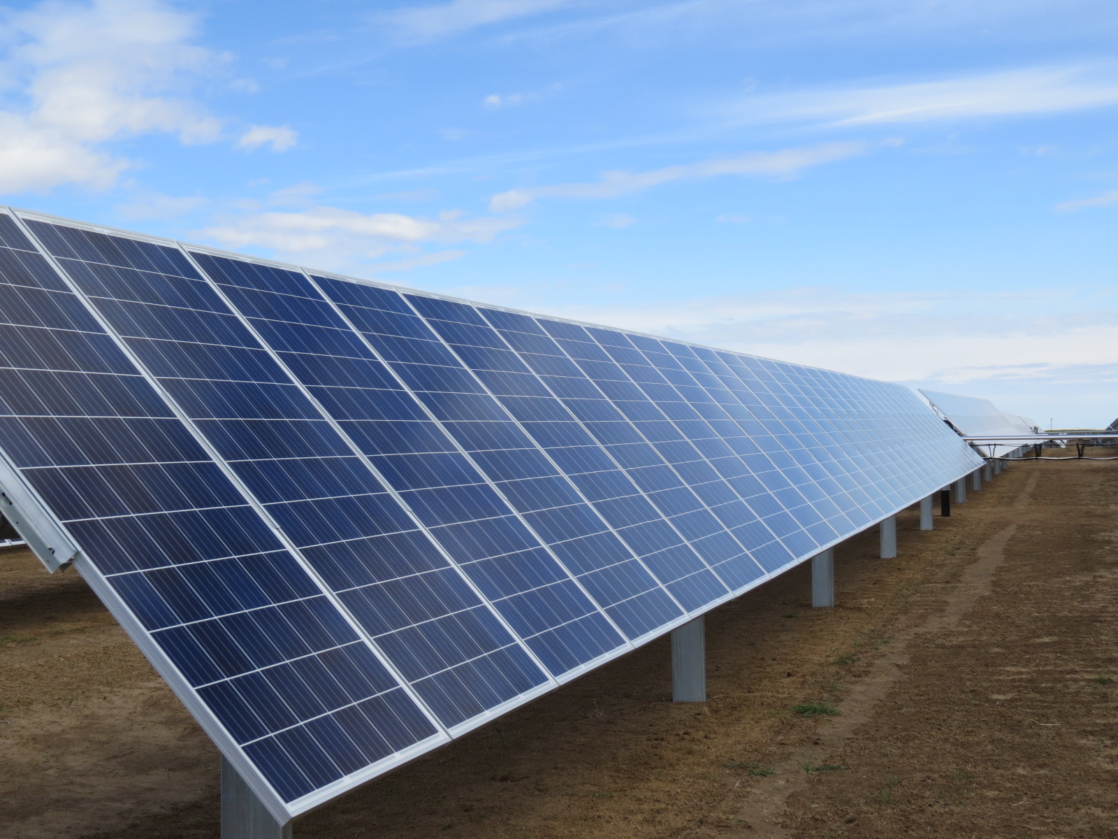
Constraints Mapping and Guidance - Solar
Wind Farm Layouts and Landowner Research/Mapping for Focused Land Targeting